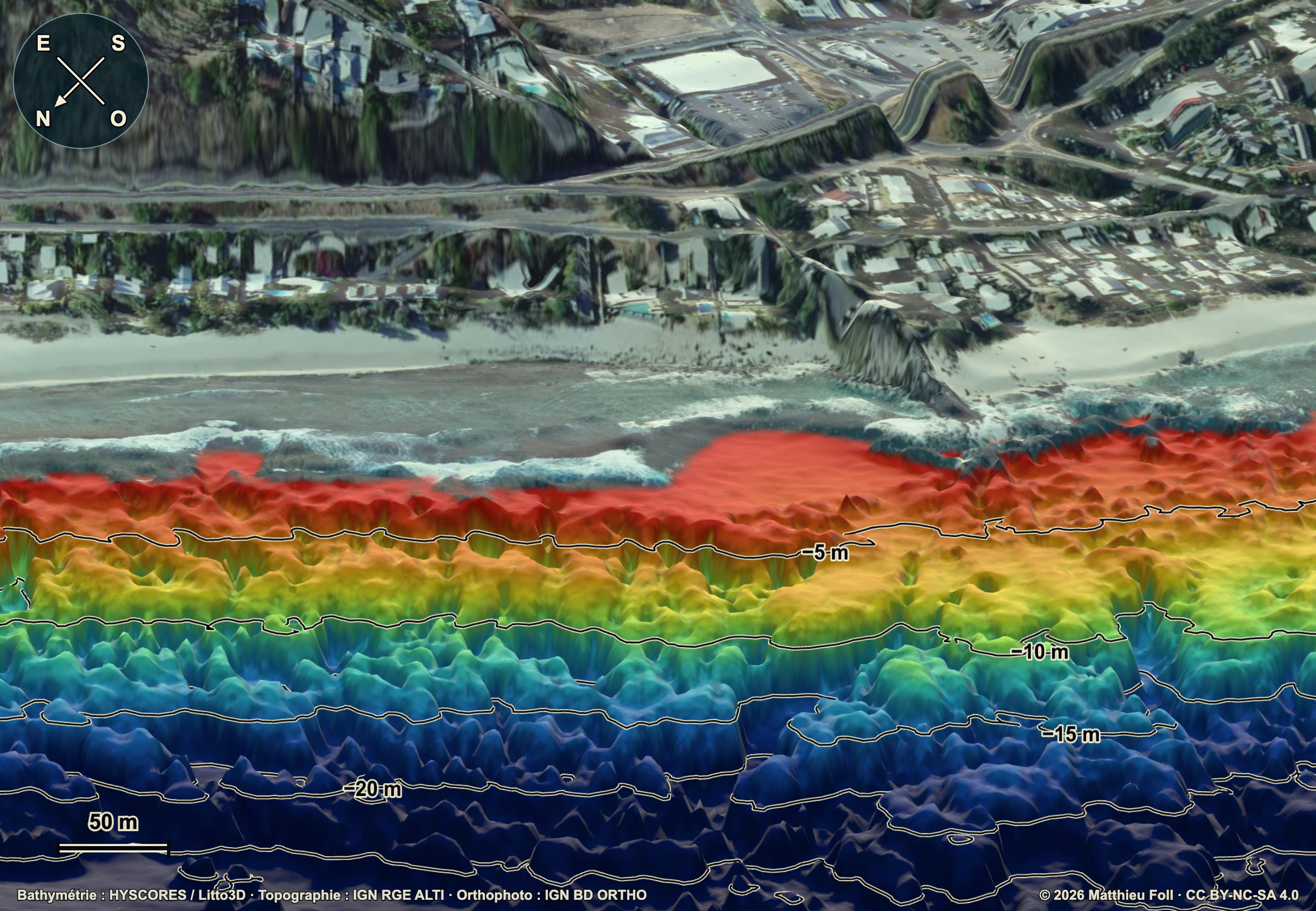
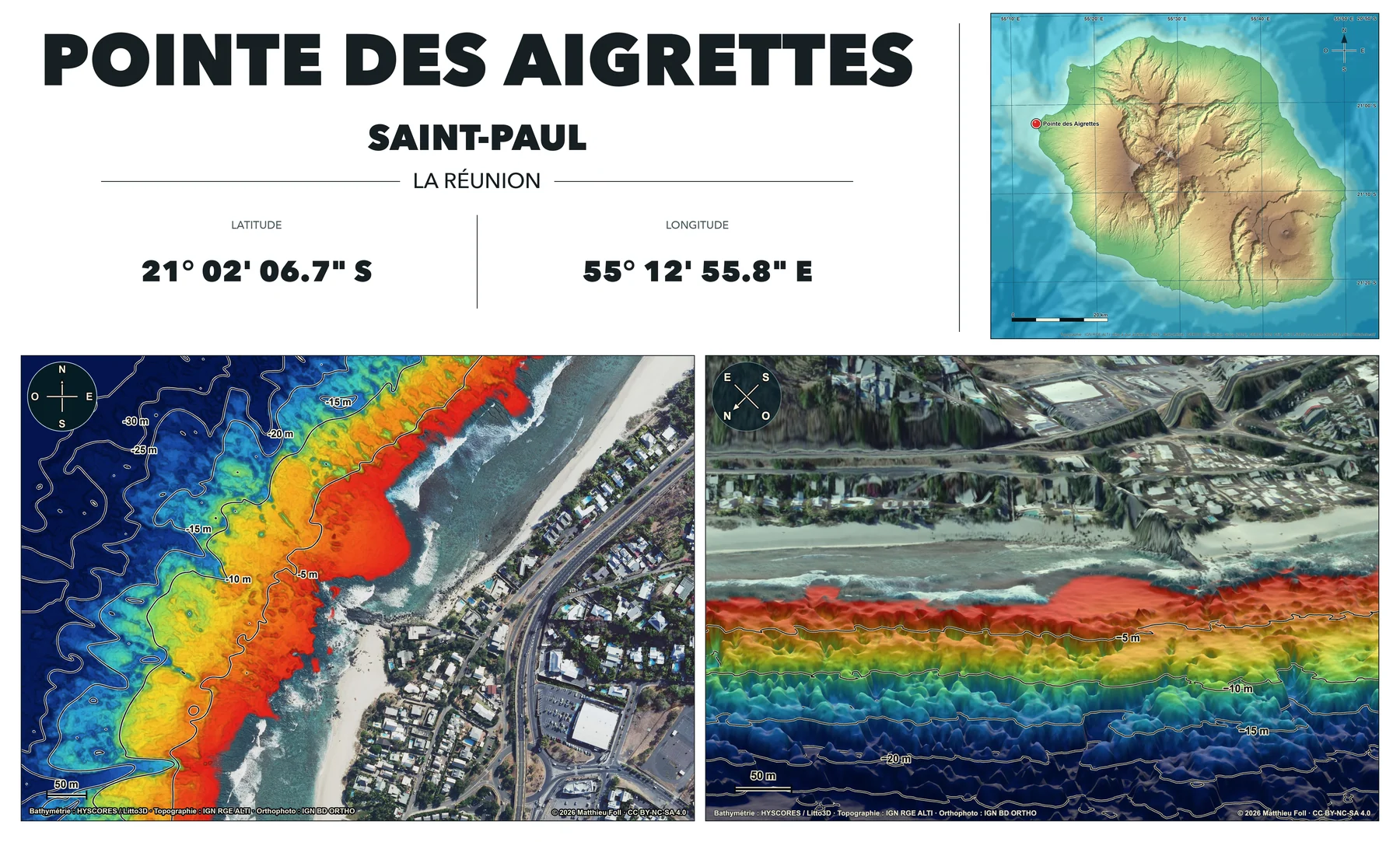
Pointe des Aigrettes
Saint-Paul21° 02′ 06.7″ S · 55° 12′ 55.8″ E
Saint-Paul21° 02′ 06.7″ S · 55° 12′ 55.8″ E
This project is made possible by freely available bathymetric, topographic and aerial data provided by public and scientific organisations.
Underwater terrain from the 2015 HYSCORES survey, including Litto3D data.
The RGE ALTI digital terrain model used for the land surface.
Georeferenced IGN BD ORTHO aerial imagery used for the high-resolution background.
The GEBCO 2024 bathymetric grid used for the west-coast site-selection map.
The code and website interfaces were generated entirely with AI under human direction, then visually reviewed and validated against the source data.
Maps and visualisations © 2026 Matthieu Foll.
CC BY-NC-SA 4.0The production pipeline and website source code are available on GitHub.
View the GitHub repositoryThese maps are not intended for navigation and do not replace local information, sea conditions, guidance from authorities or professional advice.
Have a question, feedback, or a dive site you would like to see mapped?
Email me at contact@divetopo.com.